desktop
1.1 What MicroCity can Do
MicroCity is designed to be a handy spatial modelling tool, which is portable, compact and fast.
A Modeling Framework
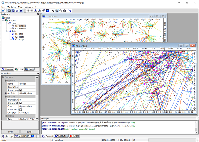
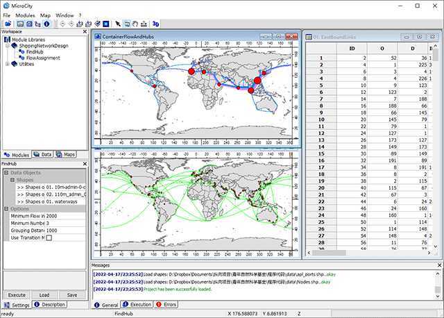
Based on GIS, Networks and Mixed Integer Programming libraries, MicroCity can be used as a modeling framework to solve transporation problems, such as City Logistics and Shipping Planning:
A Simulation Platform
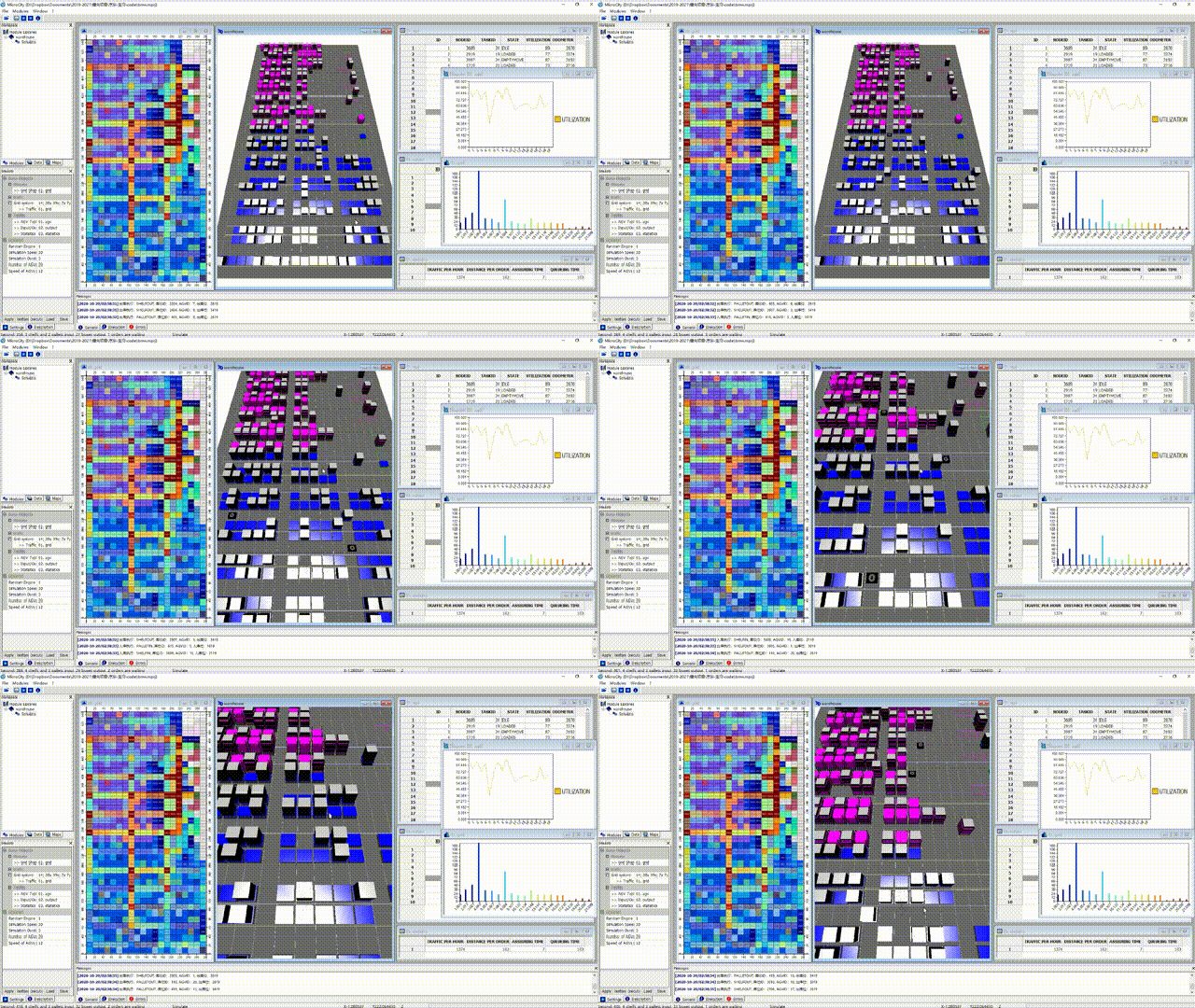
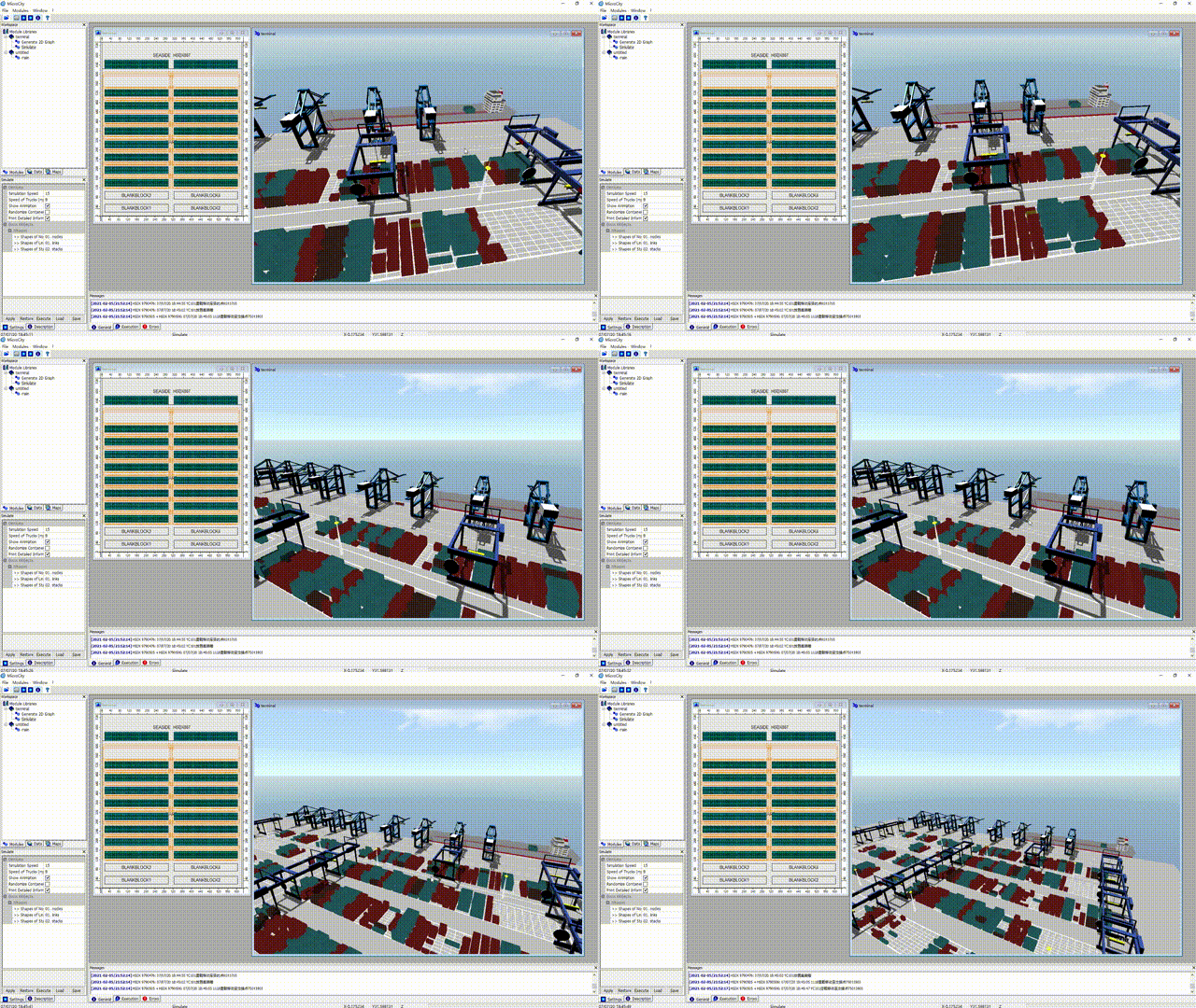
Based on 3D CGI and Discrete Event Simulation Engine, MicroCity can be used as a simulation platform to evaluate logistic scenarios, such as Automated Warehouses and Container Terminals:
Customized by Scriptable Modules
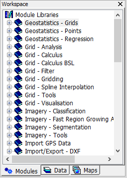
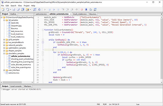
MicroCity can extend its functionality with modules which can be inherited from SAGA or scripted and debugged in Script Editor:
Currently, MicroCity is mainly used in teaching and research. It can be freely distributed.
| Table of Contents | 2.1 Showing a World Map > |